Yellowstone engineers service volcano monitoring networks year-round
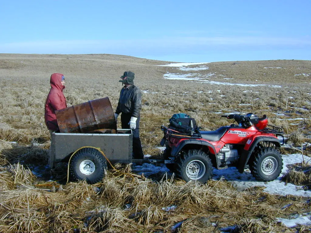
1 min readThe US Geological Survey said engineers service Yellowstone National Park geophysical monitoring networks year-round despite challenging terrain and harsh weather. The park is larger than Delaware and Rhode Island combined.
The network includes tiltmeters, seismometers, meteorological instruments, strainmeters and GPS stations spread throughout the park. Engineers accessed the HVWY GPS station in Hayden Valley via a 10-mile round-trip hike during summer 2026.
Helicopters were used to reach the WLWY GPS station on the Sour Creek resurgent dome in September 2025. The Yellowstone National Park helitack crew helped engineers replace a corroded antenna cable, establish new meteorological sensors and install a new cellular modem for faster data transmission.
The US Geological Survey said snowmobiles were required in 2025 to access the Madison Junction GPS station known as P711. Cross-country skiing was needed to complete the trek because monitoring sites are typically located far from groomed oversnow roads.
The Promontory Point GPS station sits on a peninsula between the South and Southeast Arms of Yellowstone Lake. The agency said the site can only be accessed by boat when heavy equipment is needed.
Horses transported more than 800 pounds of batteries to the Slough Creek GPS station in 2025. The agency said this maintenance work ensured the station would remain operational day and night for another decade.
The US Geological Survey said the Yellowstone Caldera has been subsiding at a rate of about 2 to 3 centimeters per year since 2015. The monitoring network tracks this deformation along with seismic activity and other geological behavior.