USGS monitors California coastal hazards during the 2026-2027 El Niño event
1 min readThe US Geological Survey said it is monitoring coastal hazards in California during the pending 2026-2027 El Niño event. The work focuses on beach erosion, storm impacts and changes along the coast. The announcement was published Tuesday 20 October 2026.
The USGS conducts coastal monitoring to improve assessments of beach erosion hazards along U.S. coastlines. According to the agency, the monitoring provides information about seasonal, event-based and long-term changes and supports planning for storms related to El Niño.
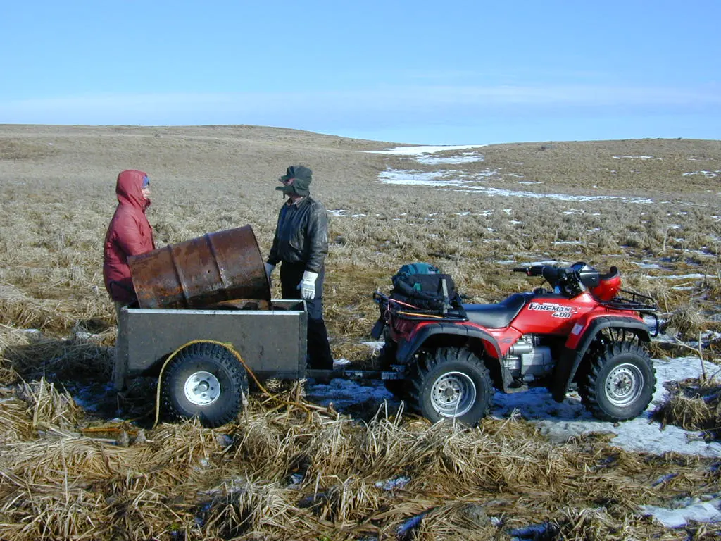
Teams survey bathymetry from personal watercraft and collect beach elevation data from aerial platforms, foot surveys and all-terrain vehicles. The agency combines the data to create three-dimensional maps of beach topography. It also uses web cameras and instruments to measure water levels, currents, waves and shoreline positions.
Long-term monitoring at Ocean Beach near San Francisco has been ongoing since 2004. The program measures shoreline change in an area with some of the highest erosion rates along California’s coast. Monitoring in Santa Barbara ran from 2005 to 2024 and began in response to the record 2005 flood of the Santa Clara River.
The USGS said long-term monitoring at the San Lorenzo River mouth in Santa Cruz has shown how coastal watersheds deliver different types of sediment to beaches under hydroclimatic extremes. Shorter-term surveys are taking place this fall and next spring in Ocean Beach, Santa Cruz, Santa Barbara, Ventura and other locations.
The team also uses satellite imagery analysis, LiDAR and photogrammetry flights to expand the coverage of beach mapping. The agency said the resulting topographic and bathymetric data inform sediment management decisions and feed coastal storm models, including the USGS Coastal Storm Modeling System, that show beach risks and vulnerabilities to California’s coastal infrastructure and habitats.