Landsat Science Team focuses on advanced satellite technology
2 min readIn an announcement published Tuesday 20 October 2026, the U.S. Geological Survey said the Landsat Science Team would focus on advanced satellite technology. Landsat 10 promises improved scientific discovery and innovation through better imaging capabilities for the next generation of Earth observation. The newest satellite has 26 spectral bands and enhanced resolution and is planned to launch in 2031. The work continues the program’s 54-year legacy.
The agency said the 2026-2030 Landsat Science Team acts in an advisory role and provides scientific and technical evaluations for the Landsat program. The program operates as a partnership between the U.S. Geological Survey and NASA. Team members come from universities, private industries, and federal and international agencies.
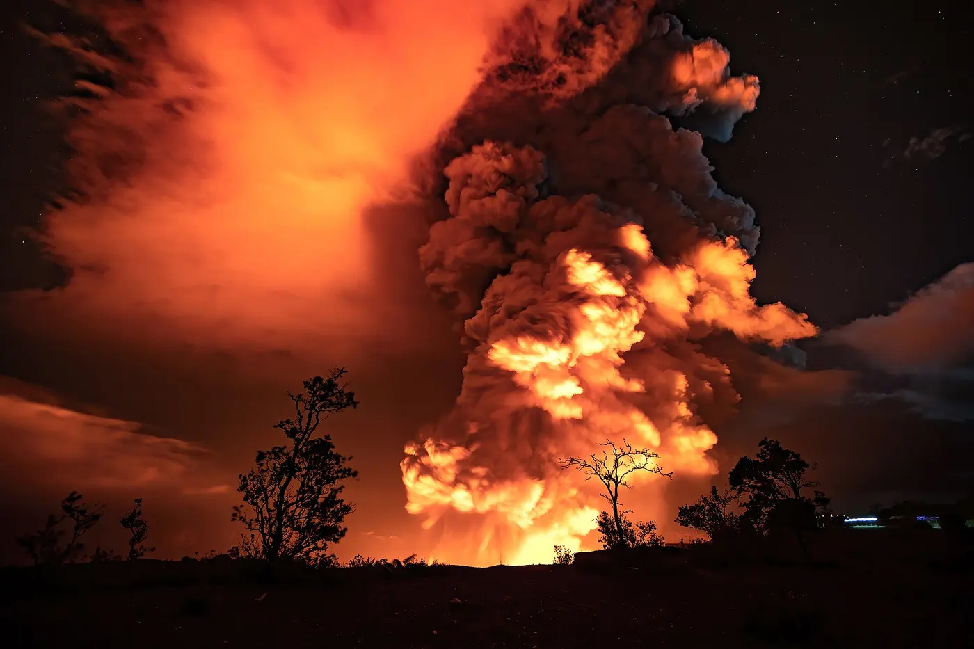
The team will provide collective analysis and advice on atmospheric correction and calibration, interoperability and data processing, agriculture, vegetation and land surface processes, snow and aquatic systems, wildland fires, volcanoes and geothermal systems, science applications and data user engagements.
Yun Yang, an assistant professor at Cornell University and a member of the OpenET consortium and nonprofit board, works to improve monitoring of plant water use. This includes enhancing the estimation of evapotranspiration, or ET, for farmers and water managers. Yang said ET information can help determine when to start irrigation, how much to irrigate, and whether fields show stress signals. Albedo, land surface temperature, and vegetation information together can improve estimates of ET and understanding of the surface energy balance.
Philip Dennison, a professor in the School of Environment, Society and Sustainability at the University of Utah, and co-principal investigator Michael Mickey Campbell, a research assistant professor, discussed uses for non-photosynthetic vegetation mapping. Campbell said Landsat 10’s new NPV mapping capability could help precisely track tree mortality, for which non-photosynthetic vegetation is a useful proxy. Dennison said it could help monitor fire danger by showing where land is drying faster and where vegetation changes are increasing danger.
Ryan O’Shea, a lead research scientist at Science Systems and Applications Inc., will work to harmonize inland and coastal water quality monitoring, including monitoring harmful algal blooms, with the Landsat Program. O’Shea said Landsat 10 could provide data at 20-meter scales to monitor harmful algal blooms at fine scales and small inland water bodies and tributaries. He previously served on the 2018-2023 team.