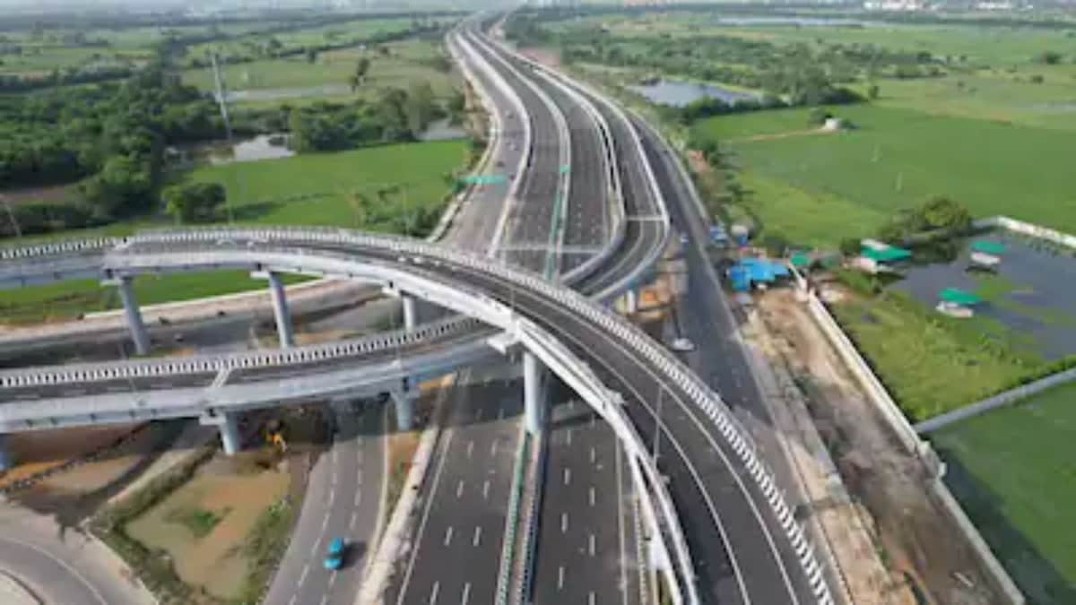
Prime Minister Narendra Modi inaugurated the first 157.92-km segment of the expressway during his visit to Jind, Haryana. Constructed at an estimated cost of ₹9,680 crore, this newly opened section is part of the extensive 667-km Delhi-Amritsar-Katra Greenfield Expressway, linking Delhi to Katra in Jammu & Kashmir.
A quicker route across four states
Traversing Delhi, Haryana, Punjab, and Jammu & Kashmir, the expressway is being developed at an estimated expenditure of ₹38,905 crore. It is designed as a four-lane highway, with future plans for expansion to eight lanes, providing a swifter alternative to the heavily trafficked NH-44, one of North India’s most congested roadways.
The project is divided into several construction packages to accelerate progress. While the initial 157.92-km segment has now been inaugurated, work on the remaining portions is actively ongoing.
Delhi-Amritsar-Katra Expressway: How much travel time will it save?
A key feature of this project is the notable decrease in travel time. According to the National Highways Authority of India (NHAI), the trip from Delhi to Amritsar is projected to take approximately four hours once the expressway is fully operational. Currently, this journey takes about seven to eight hours, depending on traffic conditions.
The trip from Delhi to Katra will see an even greater reduction in time. The existing route of around 727 km typically takes about 14 hours. Once the expressway is completely functional, the distance is expected to diminish to roughly 588 km, while the travel time will be reduced to about six hours.
Which cities will the expressway connect?
The expressway commences near Delhi, entering Haryana and passing through Jhajjar, Rohtak, Sonipat, Jind, and Kaithal before moving into Punjab, connecting Patiala, Sangrur, Malerkotla, Ludhiana, Jalandhar, and Nakodar.
From Nakodar, the expressway diverges into two routes.
One branch proceeds towards Amritsar, traveling through Sultanpur Lodhi, Goindwal Sahib, Khadur Sahib, and Tarn Taran before arriving at Sri Guru Ram Das Ji International Airport. Major sites such as the Golden Temple and Wagah Border are expected to become much more accessible from Delhi, facilitating easier weekend road trips.
The other branch continues towards Jammu & Kashmir, passing through Kapurthala, Gurdaspur, Dinanagar, and Pathankot, ultimately reaching Katra, the base town for the Shri Mata Vaishno Devi shrine. This enhanced connectivity is anticipated to significantly cut travel time for visitors to the shrine.
How the expressway will improve connectivity
The Delhi-Amritsar-Katra Expressway aims to connect not only major cities but also numerous other destinations. With nearly 35 major interchanges, it will link industrial centers, logistics parks, agricultural markets, and key religious sites, creating a comprehensive transport network throughout the region.
The government expects that the expressway will enhance tourism, trade, and freight movement while also decreasing travel time for both passengers and commercial vehicles.