NASA's CASALS instrument bridges gaps in Earth surface maps
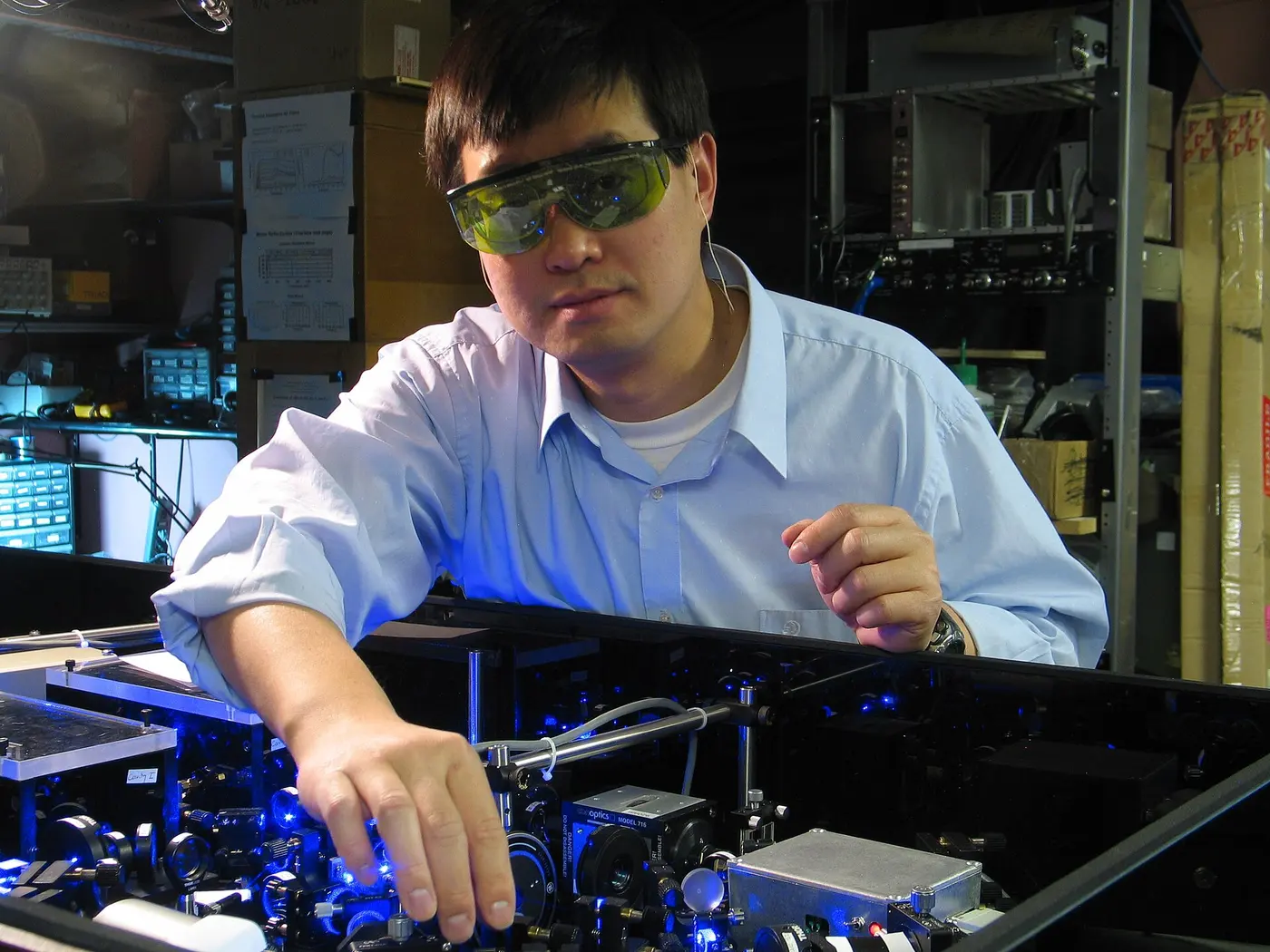
1 min readNASA reported Wednesday 21 October 2026 that a team at NASA's Goddard Space Flight Center developed the Concurrent Artificially-intelligent Spectrometry Lidar System, or CASALS. The instrument combines machine learning with a compact lidar system to sweep across large areas of Earth's surface and create continuous three-dimensional renderings of forests and terrain.
CASALS steers laser light by changing its wavelength instead of using moving mirrors. A fast-pulsing seed laser centered at 1040 nanometers cycles through 256 unique wavelengths. A transmission grating bends the pulses at different angles and directs them to distinct positions across the flight path. The result is a continuous 3D swath of the ground below.
The instrument operates at 80% Quantum Efficiency, allowing it to detect weaker return signals and collect measurements from darker surfaces or through denser vegetation. Its lack of moving mirrors also reduces the instrument's size, weight, and power requirements while improving reliability in the space environment.
NASA said an airborne CASALS prototype flew aboard NASA's B200 King Air aircraft in November 2024. The instrument produced science-quality datasets during its first campaign and exceeded the team's expectations. John Yorks, a physical research scientist at Goddard and the CASALS Principal Investigator, said the instrument performed well on its first flight.
Flying at an altitude of roughly five kilometers, CASALS has 22-centimeter horizontal resolution. The instrument can distinguish individual tree branches and subtle changes in ground elevation. Yorks said the data showed fine details of vegetation structure and changes in surface topography.
The team aims to fly CASALS during the Airborne Surface, Cryosphere, Ecosystem, and Nearshore Topography campaign, scheduled for summer 2027. Before building a space-ready prototype, the team plans to widen the instrument's swath and add onboard data processing software. NASA said CASALS could become the first spaceborne lidar to map forests and terrain as continuous three-dimensional swaths.